Story so far
A brief historical timeline covering some 15,000 years

13,000 BC
FORMATION
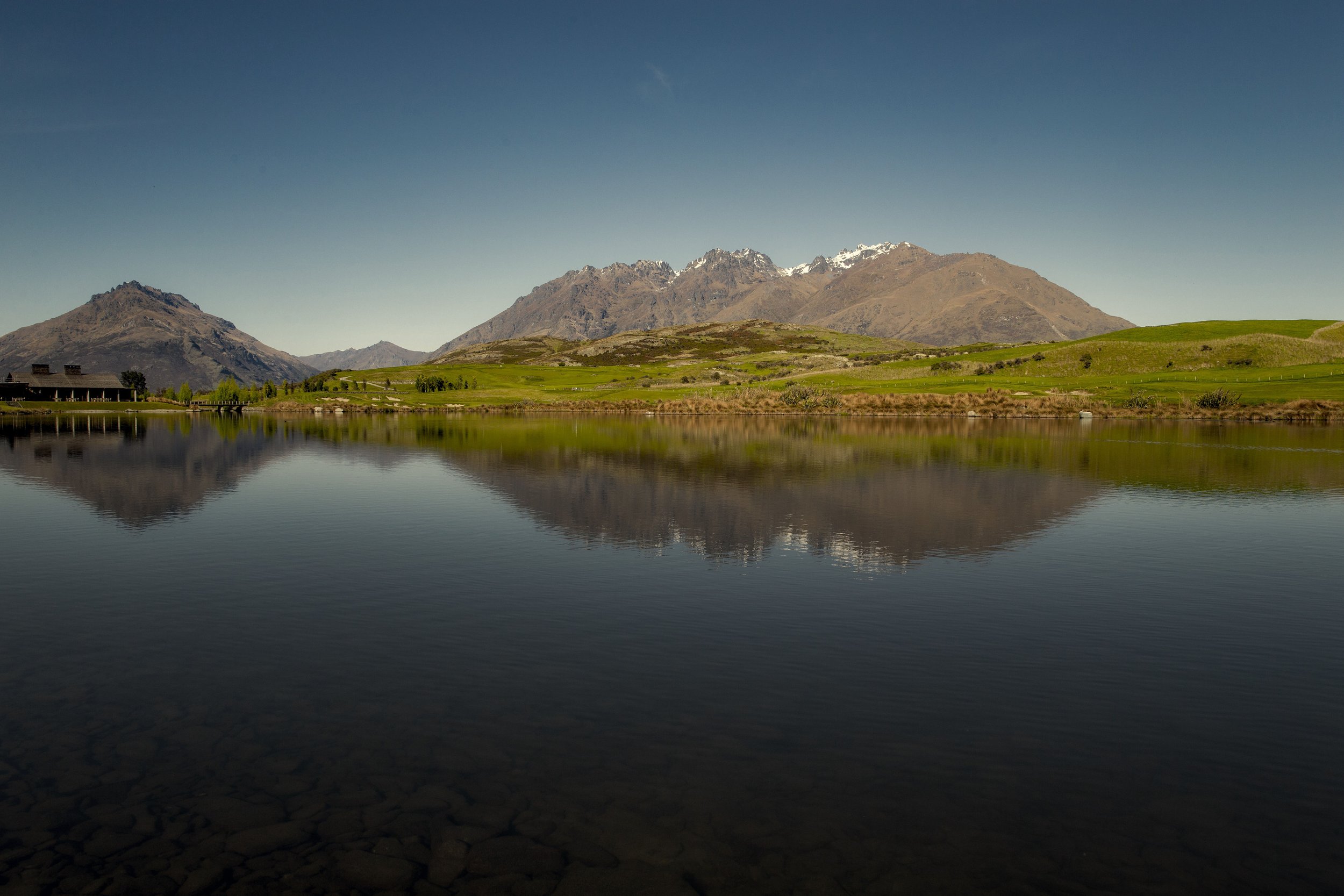
The spectacular Remarkables mountain range (Kawarau) runs exactly north south, and was formed by the pressures of tectonic plates moving along the fault line that runs the length of the Southern Alps. The faulting and folding of schist rock has created the awesome near vertical rock faces that dramatically surround Jack’s Point.
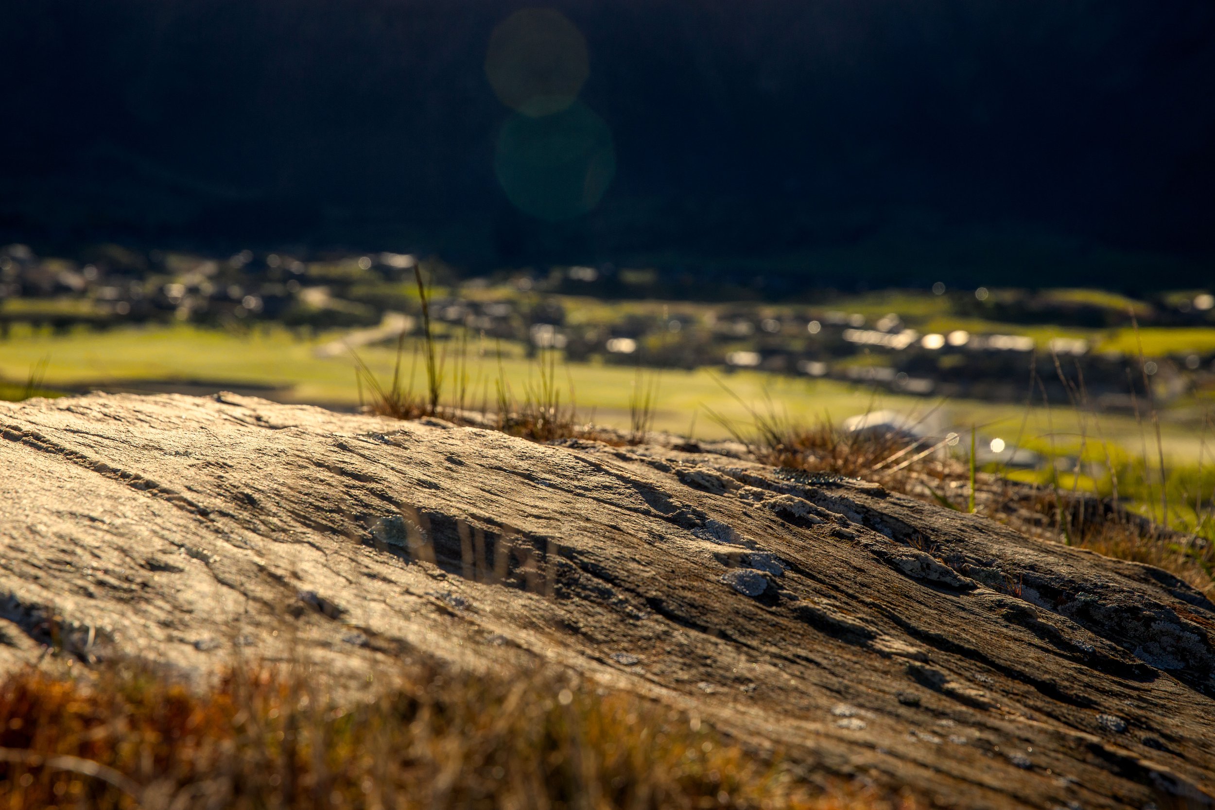
During the last ice age glaciers covered most of this region. A glacier from the north-west was responsible for gouging out the deep Whakatipu lakebed to a depth of 380 metres (1247 feet). Evidence of the glacial action can be seen on Cecil Peak in the form of deep 'scratches' (striations), along the mountain slopes.
800–1100 AD
WHAKATIPU-WAI-MĀORI
According to legendary tradition the first visitors to the Lakes District area were the Kati Waitaha. Their chief, Rakaihautu traversed the South Island in his waka (canoe), Uruao and “carved out its lakes with his magical digging stick”.
Initially the explorers thought that Lake Whakatipu was part of the sea but when they reached it they discovered it was fresh water and named it Whakatipu-wai-maori (fresh water Whakatipu).
There is still debate about when the first Māori came to the area. However umu ti (ovens) at what is now Dart river bridge beyond the north-western end of Lake Whakatipu have been radiocarbon dated to AD 1227, 1363, 1508 and 1613.
The first Māori came to the region via the valley systems of Southland and Otago. They hunted the large, flightless moa bird, which provided a rich source of protein, bones for ornaments and fishhooks and feathers for use in cloaks. The period during which moa were hunted to the point of extinction lasted for 100 -150 years.
Māori in the Central Otago region, generally visitors, were coming from coastal areas to hunt moa, catch eels in Lake Wakatipu and to use the precious pounamu (greenstone) for tool making. Due to the smaller populations and less competition for the natural resources the people remained nomadic for longer than Māori further north. The emergence of classic or tribal Māori society by the 16th century excluded the south of the South Island.
1350–1550 AD
ECONOMIC RECESSION
This period was marked by the decline of moa and the onset of the first economic recession. Māori coped with this change in circumstances by replacing moa meat mainly with fish and also a wide range of open country and coastal birds, especially ducks. Another important food source at this time was ti (cabbage tree) roots, a staple of Māori diets in this region.
The harder economic circumstances combined with the mobile lifestyle probably caused the population to decline slightly. There were probably no more than 1500 people in southern New Zealand by the early 16th century.
1853
SURVEY
Nathaniel Chalmers, on a mission to survey the region, was the first European to see Lake Whakatipu. He was led to the area by two Māori guides, Reko and Kaikoura.
1860–1862
EUROPEAN SETTLEMENT
William Gilbert Rees and Nicholas Von Tunzelman successfully reached the Whakatipu Basin via the Cardrona Valley. After lodging an application for a pasturage licence in March, Rees had 3000 sheep on the move to the Whakatipu by December of the same year.
Rees built a homestead at Queenstown Bay known as The Camp, and by 1862 his property covered a large area including the Shotover, the Buckleburn, the staircase and the peninsula runs – a huge pastoral empire.
1862
MĀORI JACK
On 9 August 1862 local Māori man, Jack Tewa (known as “Māori Jack”), was sailing to Kingston from Queenstown with two Europeans by the name of Rogers and Mitchell. Approximately an hour after starting out from Queenstown on Lake Whakatipu, opposite Cecil Peak, a squall capsized the boat. Amazingly Jack Tewa managed to right the boat and pull Mitchell aboard. He landed the boat at what became known as Refuge Point on the southern side of the Lake.
After Jack had pulled Mitchell into a protected area and covered him with bracken, he set off on foot to find help at Nicholas Von Tunzelmann’s station 30 miles away. Jack and Von Tunzelmann then rowed across to Queenstown to get help.
On August 12 a rescue party headed by Rees rowed out from Queenstown to rescue Mitchell. Apparently Mitchell survived the ordeal largely due to a mysterious collie dog who had kept him warm by lying on him through the night.
Jack Tewa was awarded a medal from the Royal Humane Society and Mitchell gave him a silver hunting watch in appreciation for his incredible feat.
Jack's Point was named after Jack Tewa and his feat of strength and courage. Lake Tewa within Jack's Point, the site of the Village, is also named after Jack Tewa.
1862–1865
GOLD RUSH
It was Jack Tewa who is also credited with the first discovery of gold in the Arrow River, Arrowtown, in 1862. He told William Fox, Thomas Low and John MacGregor and this led to further discoveries in the Shotover River. The gold rush peaked in 1863 with the pastoral lease of W.G. Rees being cancelled and a goldfield declared for which he received £10,000 compensation.
Rees moved his pastoral activities from the Shotover Run to his southern runs. He had a difficult time attracting shepherds and shearers during this period as they preferred to try their luck with gold digging.
There was a gradual decline in the number of miners in the Lakes District over the course of the 1860s, and particularly after 1865 when gold was discovered in Westland. During its peak month in April 1863, 59,308 ounces of gold worth a quarter of a million pounds was exported. After 1867 the amount exported declined steadily.
The Staircase and Shotover runs were combined after this period and named Kawarau Falls by Rees.
Jack’s Point is clearly identified in this early survey map dated January 1866.
1865
BOYES
Kawarau Falls Station was sold to Charles Crofton Boyes and Frank Campbell Boyes.
1878
THE GREAT FLOOD
During a particularly harsh winter many of the sheep runs suffered heavy losses due to frequent snow and hail storms. Thousands of sheep died as a result.
In September warm winds and 36 hours of torrential rain caused a sudden thaw. Lake Wakatipu’s levels rose and flooded Queenstown on October 2. Despite huge losses of property few people died.
1924–1926
THE KAWARAU BRIDGE
The area was again infected with gold fever in the mid to late 1920s. The Kawarau Gold Mining Company built a dam at the outlet of Lake Whakatipu with the aim of exposing the gold they believed lay on the riverbed. Dickson Jardine humorously describes the greatly anticipated day the gates of the dam were closed in his book, ‘Shadows on the Hill’.
“Practically the whole forty-mile length of the Kawarau’s banks were pegged out in chains in anticipation of a rich harvest.
“Hundreds of excited investors and spectators awaiting official procedures… The gates were wound down and the roar of the Falls was stilled. The waters of the great lake beat in vain against the great iron gates.
With the closing of the gates the crowd surged down to the river, gold-pans at the ready, to follow the receding waters down to the golden hoard.”
However, due to the persistent surge of water from the tributaries of the Shotover, Arrow and Nevis rivers, the waters failed to recede entirely and the golden hoard was never to be revealed.
Jardine continues, “With time the investors, the claim holders and the “experts” preceded by the promoters, faded quietly from public view.”
The dam remained and became the Kawarau Falls bridge connecting the main south highways. The dam is used to control the river flow in the event of heavy rains or a sudden thaw and also regulates storage for the hydro-electric dam on the Clutha River at Roxburgh.
1865–1922
KAWARAU STATION
Kawarau Station gradually reduced in size to 46,000 acres due to boundary adjustments and sales.
1922
JARDINE
Dickson Jardine purchased Kawarau Station on September 14, 1922.
1941
PARTNERSHIP
Dickson Jardine took his two sons, Grieve and Dickson, into partnership. Management was undertaken by Dickson Jardine.
1947
FIRST SUBDIVISION
The property was subdivided between Dickson and Grieve. In the subdivision Grieve took over the Homestead Block and Kawarau Falls, while Dickson took the hill country and named it Remarkables Station.
1960
KAWARAU FALLS CHANGES HANDS
Grieve sold Kawarau Falls to Frank Mee and the Homestead block to the Methodist Church.
1973
HENLEY DOWNS (HANLEY DOWNS)
Dickson took his two sons, Dickson and Andrew into partnership in Remarkables Station and in the process the property was subdivided between them. The younger Dickson retained the name Remarkables Station for his property and Andrew took the balance including the original Remarkables Homestead and named his property Henley Downs.
1999
A NEW ERA - JACK’S POINT
Dickson Jardine sold 420 hectares (1000 acres) to Jack's Point Limited as a future new settlement. Darby Partners begin masterplanning the 18 hole par 72 championship course, Village and community settlement.
2008
JACK’S POINT GOLF COURSE COMPLETED
18 hole par 72 championship course designed by Darby Partners, Queenstown, is completed. Settlement of residential zones takes place over the next 10 years under tight design controls to preserve the landscape and environment.
2020–present
THE STORY CONTINUES
Jack's Point is now a 1200-hectare (3000 acre) settlement in one of the most spectacular landscapes in the world. Set on the shores of Lake Whakatipu at the foot of the Remarkables mountain range, it is just 15 minutes from Queenstown, New Zealand.
What sets Jack's Point apart is an absolute commitment to the landscape and the environment. Only five per cent of this vast area will be built on. A covenant means the rugged, dramatic and open nature of the grassland and mountain landscape that make up Jack's Point, will remain forever protected from development.
The next chapter in the settlement of Jack's Point is the Village, comprising 14.2 hectares of land alongside Lake Tewa at the heart of the wider Jack’s Point community. Work on the Village services infrastructure was largely completed in 2018, with above ground work, including roading underway in 2019. The first residential and mixed-use commercial buildings went to market in 2020, many pre-sold. The Village is the primary commercial hub for the area, and designed to ultimately service an immediate adjacent population of over 10,000. The Village design serves as a tourism, shopping and recreational destination in its own right, and acts as an important lodging base for the broader Queenstown market.


